


Context and policy overview
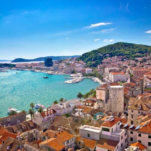
Stuttgart’s geography and economic base heavily influence its air quality. A mild local climate, low wind speeds and a valley basin location, combined with industrial activity and high traffic volumes all contribute to poor air quality.[1]
Climate projections for the period 2071-2100 predict a 2ºC increase in mean annual temperatures for the city. And projections for heatwaves – defined as temperatures exceeding 30°C – suggest that heat stress will be a significant issue, with more than half of the Greater Stuttgart area experiencing at least 30 days of heat stress by 2100. Low-lying areas could experience more than 60 days, significantly increasing the risk to local people.[2] Moreover, the ongoing development of valley slopes surrounding the city hinders airflow, exacerbating poor air quality and the urban heat island effect.
Stuttgart has a decades-long legacy of climate mapping; air-quality data collection and local climate assessment began in the 1930s. As air quality worsened into the 1970s, the city began a more focused campaign to address this problem.[3]
Adapting to climate change and mitigating its effects remains a political priority. The city adopted its first climate change mitigation strategy in 1997 and has since supplemented this with an adaptation strategy adopted in 2012.
The main goal of these strategies is to improve air quality and reduce the urban heat island effect by channelling flows of cool air via ventilation corridors from the hills towards urban areas in the valley basin.
The climate atlas for the Stuttgart region was initiated in 2008. It provides a spatial overview of the region and includes the assessment of 179 towns and municipalities.[4]
Implementation
The atlas illustrates the movement of cold air and the levels of various air pollutants. It also establishes eight types of local climate typology, with associated planning and zoning recommendations to protect open spaces and to promote the creation of new ones, especially in built-up areas. For example, the climate atlas prohibits construction in cold air ventilation corridors and any other open spaces that have a large effect on the local climate. The Atlas recommends additional greening for developed areas in locations that have a significant effect on the climate. Further planning principles include the following:
- Buildings must be surrounded by open space and there must be a larger, interconnected network of open spaces.
- Valleys, hills and hillsides may not be built on.
- Urban sprawl should be avoided.
- For industrial buildings, air pollutants that would affect the surrounding settlements should be avoided.
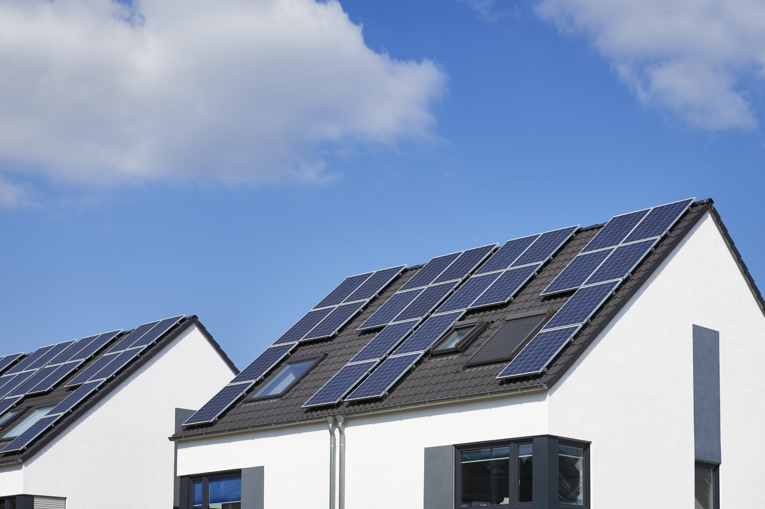
Collaboration and public participation underpin the implementation of the climate atlas, which was developed and funded in a partnership between the city, regional authorities and climate experts.[5] To increase the programme’s public appeal and participation, the city also provided financial assistance for the private installation of green roofs and encouraged residents to adopt and care for a tree.
Barriers and critical success factors
The following success factors have contributed to the successful improvement of air quality and to mitigation of the urban heat island effect.
- The consolidation by the atlas of critical details of the region’s geography, climate and land use has faciliated precise planning for different areas.
- The city’s increased internal capacity to conduct climate research has created valuable knowledge of the local environment. This has allowed Stuttgart to act on specific information rather than relying on general principles and has rendered the city’s efforts more effective. Furthermore, this concrete knowledge, applied over decades, has enabled Stuttgart to regulate development and land use to intentionally create a region-wide system of air flows.
- The atlas has shown that existing regulations (such as the German building code) can also be used to further promote climate-related planning recommendations.
- The partnership between the Office for Environmental Protection and the City Planning and Renewal team in Stuttgart has meant that the recommended green infrastructure solutions were implemented through spatial planning and development control.
Results and lessons learned
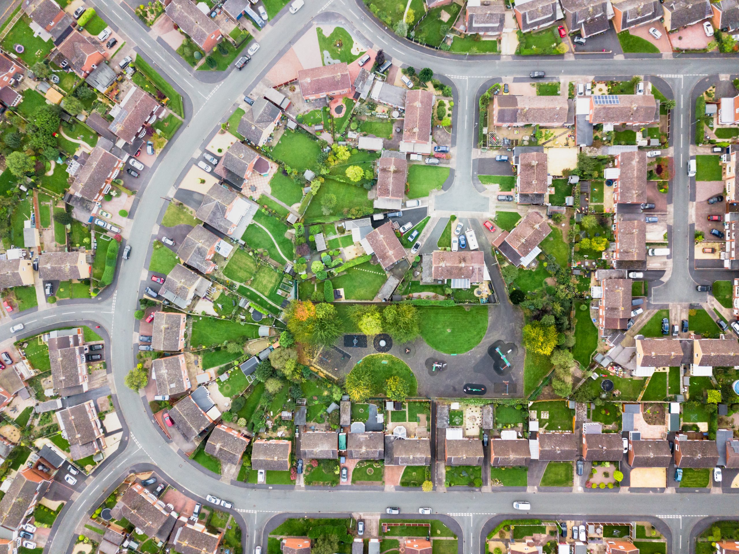
Having initiated subsidies for green roofs since 1986, Stuttgart now mandates them on new developments. As a result, the green roof market has had a significant boost.[6] Stuttgart is now a leader in the field, with more than 300,000 m2 of green roofs. More than 60 per cent of Stuttgart’s land area is green open space. In addition, at 39 per cent of the total land area, the city has the highest percentage of protected land of any city in Germany. These green spaces include 5,000 ha of forested land, 65,000 park trees and 35,000 street trees. Through a concerted strategy in place since the 1970s, the city has integrated green areas into a large green corridor. People can now travel from the royal gardens in the city centre to forests at the edge of Stuttgart exclusively via green spaces.[7]
Recent changes to the climate atlas prohibit development in ventilation corridors and on the hills surrounding the city. Plans set out in the city’s 2010 Land Use Plan to develop more than 60 ha of these areas have now been halted in order to protect green spaces.
Using financial support provided by the city, about 60,000 m2 of green roofs have been installed and nearly 500 trees have been paired with citizens in a tree adoption programme. These volunteers water the trees, report on pest infestations and remove fallen leaves, branches and dog excrement.
The climate atlas concept has been replicated in other cities across Germany and internationally. For example, Berlin has developed an environmental atlas and Kobe, Japan has created an environmental atlas to inform measures that support air circulation from the sea during the day and from the mountains during the night.